Drone & Aerial
SkyeBrowse Timelines and Camera Coverage: Drone Site Monitoring
SkyeBrowse added Timelines, cut/fill, stockpile and GCP tools plus Camera Coverage for planning security cameras on a 3D site model. What it means.
TL;DR
SkyeBrowse announced Timelines (compare up to 10 drone surveys), earthwork and accuracy tools, and Camera Coverage for planning camera placement on a 3D model. Here is what it does, what it costs, and where video search still has to fill the gap.
Update (November 7, 2026): Roof Damage Analysis and mapping exports
Update — November 7, 2026: SkyeBrowse shipped Roof Damage Analysis, expanded 2D map and contour exports, and upgraded GCP correction on November 6, 2026, as reported by DroneDJ and DRONELIFE. The tools sit on the same videogrammetry platform as the October Timelines and Camera Coverage features documented later in this post. They target roofing contractors, insurance adjusters, surveyors and public safety teams that need property documentation after storms or during inspections.
How does SkyeBrowse turn one drone flight into a roof inspection?
SkyeBrowse turns one drone flight into a roof inspection by building a 3D model from uploaded video, auto-selecting the roof (with a click-to-correct option if it picks the wrong building), and reporting measurements on that model. DroneDJ lists total area in roofing squares, main roof pitch, facet count, per-facet pitch and area, and linear lengths for ridges, hips, valleys, eaves, rakes and step flashing, plus a suggested waste percentage for material estimates. Inspectors can drag corners, add vertices, or add and remove facets instead of accepting the outline as-is.
CEO Bobby Ouyang told DRONELIFE that after a storm, crews may face many roofs and one ladder; the goal is to measure and screen from the flight so climbing is the last step, not the first. That workflow is measurement and screening on a model, not a substitute for indexing the raw flight for later disputes. Teams that also need to search drone video in natural language for spoken notes, labels or equipment still need a separate archive layer, as covered in multimodal video analysis for operational review. The drone inspection review workflow guide lists ingest steps that keep measurement platforms and raw footage aligned.
What does the AI damage scan flag before it reaches a PDF?
The AI damage scan flags candidate roof problems on the 3D model before anything lands in a customer-facing PDF. DroneDJ says it reviews up to 16 frames from the flight and eight gallery photos in about 20 seconds, pinning each candidate on the model as Likely or Possible. The scan looks for hail impacts, wind creases, missing or lifted shingles, granule loss, exposed underlayment, cracked tiles, blistering, ponding, membrane tears, rust and dents on soft metal, debris and temporary tarps. An inspector must approve or reject every finding before it appears in the report; the AI does not decide cause, coverage or repair scope.
For insurance and contracting teams, the design is deliberate triage: speed on the roof model, human sign-off on what counts as damage. If the dispute later depends on what the drone actually recorded beyond the 16 sampled frames, the full flight video still needs review or search. The construction daily report with AI guide shows how teams document jobsite and drone evidence for stakeholders without rewatching every file.
How does the Weather tab connect capture dates to storm history?
The Weather tab connects the drone capture date to NOAA storm history near the property. DroneDJ reports that it pulls NOAA Storm Prediction Center data for hail, wind and tornado activity within 40 kilometers of the site, covering the year before the flight date, and can suggest a date of loss from the nearest hail report. Completed jobs can export a Roof Damage Report PDF with property details, diagrams, facet measurements, approved findings, photos, storm history, methodology and reviewer sign-off.
That bundle is built for adjusters working multiple properties after a major storm. It does not replace searching hours of flight video across a fleet when questions go beyond roof geometry. Public safety teams comparing aerial evidence formats may also want to read how Percepto Axion opens drone inspection AI to any hardware handles cross-vendor data, while SkyeBrowse stays focused on its own models.
What changed in GIS exports and GCP correction?
GIS exports and GCP correction both changed so drone data leaves SkyeBrowse in more survey-ready forms. The Export 2D Map flow asks which destination you use (SARTopo or CalTopo, ArcGIS Pro or Online, Google Earth, AutoCAD, Civil 3D, Global Mapper and others) and generates the matching file in the browser, remembering the last choice for repeat exports. Topographic Map users gained Contours DXF beside existing DTM GeoTIFF and ground LAS exports; elevation labels match contour heights, and Bare Earth contours can follow ground under trees and vehicles.
On accuracy, the GCP tool previously checked models against control points without changing them. DroneDJ says users can now label points as Control or Check, apply vertical offset, 3D shift, or a seven-parameter transformation, and propagate corrections through the point cloud, mesh, measurements, annotations and downloads (LAZ, GeoTIFF, GLB, OBJ, USDZ, CAD). Check points stay out of the adjustment math so teams can still verify independently, and corrections can be removed to restore the original model. Smaller additions include mobile two-finger pan and pinch-to-zoom, HEIC and Insta360 INSP image support, processing-time details on models and downloadable original GPS flight logs.
Roof Damage Analysis, survey correction, topographic exports and Timelines are on Pro and Public Safety and Enterprise plans, with Pro models at $49.99 each or $39.99 per model on annual billing per both outlets. The 2D export requires a model where the 2D map is downloadable. New organizations can still use the $5 first Commercial model offer that includes GCP and topographic exports (without Timelines). Broader public safety drone distribution continues to shift with Axon Skydio investment and exclusive channel, while military counter-UAS evaluation runs through UND JIATF-401 clearinghouse.
On October 20, 2026, drone mapping company SkyeBrowse announced a set of new tools for construction monitoring, survey accuracy checks and security camera planning, according to DroneDJ. The headline features are Timelines, which compares up to 10 drone surveys of the same site, and Camera Coverage, which lets users place virtual cameras on a 3D model and see what each can see. For anyone doing drone construction monitoring, the interesting part is the direction of travel: aerial capture is turning into a stream of comparable, queryable data, not a pile of files.
This post explains what was announced, how the features work, what they cost, and how this kind of tool relates to searching the underlying video.
What did SkyeBrowse actually launch?
SkyeBrowse launched two groups of features: Timelines, a collection of construction analysis tools, and Camera Coverage for planning camera placement. DroneDJ reports both are available now on the platform. SkyeBrowse describes itself as a 3D mapping platform that turns drone, phone or 360 video into 3D models, orthomosaics and floor plans, so these additions work on models generated from video capture.
CEO and cofounder Bobby Ouyang is quoted in the DroneDJ article: "Our customers told us they were juggling exports, spreadsheets and CAD round trips to get answers that were already in their scans, so we put those answers on the model."
The launch bundles these tools:
| Tool | What it does (per DroneDJ) |
|---|---|
| Timelines | Compare up to 10 surveys of one site on a date rail; play through dates or highlight what appeared, disappeared or moved |
| Cut/Fill | Compare a 3D model with an imported design surface (LandXML, DXF, GeoTIFF); heatmap plus remaining cut, fill and net volumes |
| Cross-Sections | Station-and-offset sections along a centerline; haul-road grade reports; export to CSV, DXF, PDF |
| Stockpile Inventory | Measure multiple piles at once; assign names, materials and density; convert volume to weight; export CSV or PDF |
| Bare Earth | Classify ground points; switch between DSM and DTM; export GeoTIFF and classified LAS |
| GCP tool | Import control points (CSV, TXT, XYZ); report X, Y, Z errors, RMSE, bias and NSSDA 95% accuracy; pass or fail against a tolerance |
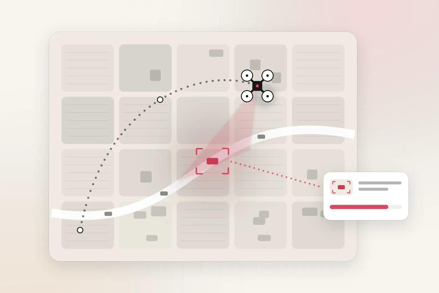
| Camera Coverage | Place virtual cameras with height, field of view, range and tilt; compute coverage; suggest up to 10 positions |
How does Timelines work for site progress tracking?
Timelines lets a team load up to 10 surveys of the same site into a single view and move through them by date. DroneDJ says users can play through dates or highlight changes to see what has appeared, disappeared or moved, and can take measurements from any survey in the timeline.
Alignment is handled automatically: each new survey aligns with a base survey, and if the alignment is off by approximately 4 inches or more the platform prompts users to match three points to correct the fit. Surveys can also be viewed against satellite imagery, and read-only public links let teams share timelines with clients without a login.
For a project manager the value is simple. Instead of opening separate models and eyeballing differences, you get a dated sequence you can scrub and measure. The limit is also simple: ten surveys is a cap, so a long project with weekly flights will need to choose which dates to keep in a given timeline.
What does Camera Coverage do, and who is it for?
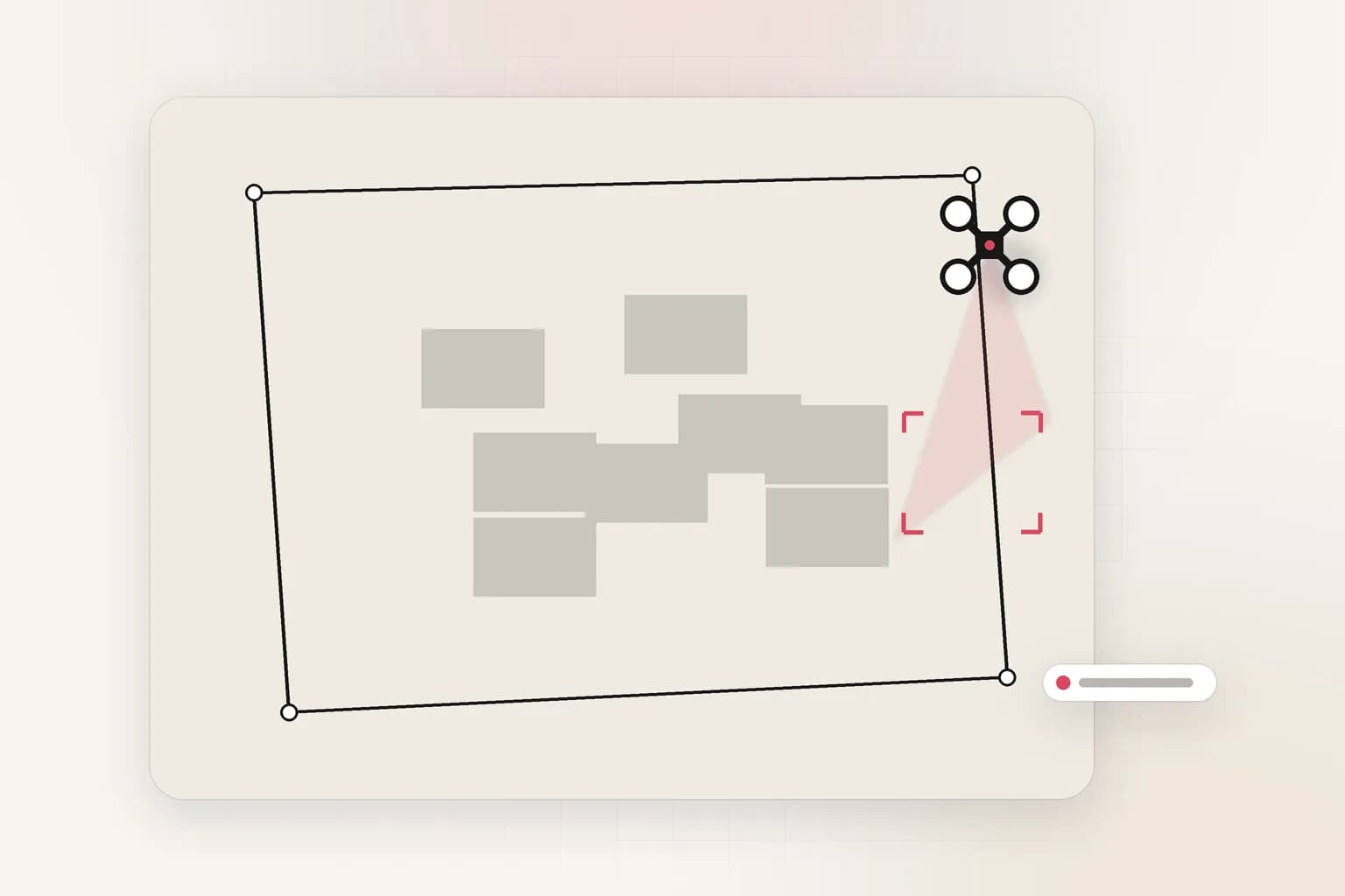
Camera Coverage helps plan where to install security cameras before buying them. DroneDJ describes public safety agencies, event security teams and construction site managers placing virtual cameras on a 3D model, setting mounting height, field of view, range and tilt, and visualizing the areas each camera can see.
The tool calculates how much of the site, or a user-defined area, is covered by at least one camera. Its Suggest feature can recommend up to 10 camera positions or find the best remaining location for one more. It also models environmental conditions: users can examine how snow and plow piles obstruct views and check when sunlight could cause glare, using a year of sun positions to flag the affected months and hours.
This is design-time work. It answers "where should cameras go?" It says nothing about what the cameras will record, or how you will find a specific event in that footage later.
How accurate are the survey checks?
The GCP tool is about verifying accuracy, not claiming it. SkyeBrowse says its platform can deliver survey-grade accuracy without ground control points, but some clients and specifications still require documented verification against surveyed reference points, per DroneDJ's October 20 coverage. The tool imports points, takes an EPSG coordinate system and a choice of ellipsoidal or orthometric heights, then reports errors, RMSE, bias and NSSDA 95% accuracy with a pass or fail against the user's tolerance. That October article described check-only verification that did not alter the processed model; the November 6, 2026 release adds optional model correction, covered in the update section above.
We cannot verify SkyeBrowse's accuracy claims independently, and neither does this post. The useful design choice is that the report is generated from your own control points, so the evidence in the PDF or CSV is yours, not a vendor marketing number.
What does it cost?
Per DroneDJ, the new features are available on SkyeBrowse Pro models, priced at $49.99 per model, and on Public Safety and Enterprise plans. New organizations can access Camera Coverage and all construction tools except Timelines through a $5 first Commercial model offer. Check SkyeBrowse's own site for current terms before budgeting.
How does 3D site mapping relate to searching drone video?
3D mapping and video search answer different questions from the same flight. A 3D model tells you geometry: volumes, grades, changes between dates. The original video holds everything else: what the crew was doing, the equipment on site, a spoken note from the pilot, a visible permit board or delivery label, a vehicle that should not have been there.
Teams doing construction monitoring usually end up with both: mapping outputs for measurements and a growing archive of raw video for evidence and context. The archive is where problems appear, because nobody can watch it. Our posts on enterprise video search in natural language and multimodal video analysis for operational review cover the retrieval side, and beyond manual video review explains why watching is the bottleneck.
Ceptory is a video intelligence platform. You upload recorded video or add it by URL through the API, index it, and search it in natural language across scenes, speech and on-screen text, or run multimodal analysis from the dashboard or REST API. See the drone monitoring feature page for the aerial workflow. Pricing is $0.042 per minute indexed plus $0.0015 per minute infrastructure, search at $4 per 1,000 queries, and the first 10 minutes of indexing free, on the pricing page.
Where Ceptory does not compete with SkyeBrowse:
- It does not build 3D models, orthomosaics, cut/fill volumes or survey accuracy reports.
- It does not plan camera placement. It has no coverage simulation.
- It publishes no accuracy figures for detecting specific site conditions, so test it on your own footage.
Does camera planning change how you will review footage later?
Yes. Once cameras are installed from a coverage plan, the next problem is volume. A well-planned site with overlapping cameras produces more recordings, and incidents will be spread across several views. Two practical consequences:
- Coverage is not review capacity. Seeing 95 percent of a perimeter on a model does not mean anyone can find an event on a recording. Plan retrieval alongside placement. The video review cost calculator estimates the hours manual review will take.
- Storage and retention follow the camera count. Use the free CCTV storage calculator once you have a camera list.
What are the practical limits of this kind of tool?
Every modeling tool has edges worth knowing before you rely on it. Timelines compares surveys of the same site, so it assumes you fly the site repeatedly and consistently; irregular flights produce a sparse timeline. The alignment prompt at roughly 4 inches means a human decision is still part of the loop whenever a survey drifts. Camera Coverage reasons about line of sight on a model, so objects that move, such as parked vehicles, stacked materials or temporary hoarding, will change real coverage in ways a static model does not show. And exports like CSV, DXF and PDF are outputs for other systems, not a shared record of what happened on site day to day.
None of this is a criticism. It is a reminder that a measurement platform and an evidence archive are different layers. Teams that treat them as one layer tend to discover the gap during a dispute, when someone asks what the site looked like on a specific afternoon and the answer lives in unindexed video. The same gap shows up in public safety, where integrated drone-as-first-responder bundles such as Evolver DFR sell the aircraft and dock but say little about reviewing the footage.
What should a construction or security team do now?
- Try Timelines on one active site. Pick a project with regular flights and test whether a 10-survey timeline fits your reporting cadence.
- Run the GCP check on a recent survey. Compare the report with what your contract specifies, and keep the PDF with the project record.
- Model your perimeter before buying cameras. Use Camera Coverage or another planner, include seasonal conditions such as snow and sun glare, and note any blind spot you decide to accept.
- Keep raw video, not just models. Store original flights and camera recordings so you can answer questions the model cannot.
- Index the archive. Make the video searchable by scene, speech and visible text so a dispute, claim or safety review can be answered in minutes instead of days.
- Verify costs. Confirm per-model pricing against your flight cadence before committing.
Related reading: Percepto Axion opens drone inspection AI to any hardware.
Conclusion
SkyeBrowse's update reflects a broader pattern in aerial work: the value is moving from capturing data to answering questions with it, and from separate exports toward tools that keep answers on the model. Timelines and Camera Coverage are design and measurement tools. The footage behind them still needs to be findable. If you hold drone or site video you cannot search, you can index it and try natural language search with the first 10 minutes of indexing free at Ceptory.
Frequently asked questions
What did SkyeBrowse announce?
SkyeBrowse announced Timelines, a set of construction analysis features, and Camera Coverage for planning camera placement on a 3D site model, as reported by DroneDJ on October 20, 2026. Both are available now in the platform.
How many surveys can Timelines compare?
Timelines brings up to 10 surveys of the same site into one view. Each new survey aligns to a base survey, and if alignment is off by about 4 inches or more the platform asks users to match three points.
How much do the new SkyeBrowse tools cost?
Per DroneDJ, the features are on SkyeBrowse Pro models priced at $49.99 per model, and on Public Safety and Enterprise plans. New organizations get Camera Coverage and the construction tools except Timelines through a $5 first Commercial model offer.
Does SkyeBrowse replace video search?
No. SkyeBrowse turns drone video into measurable 3D models and reports. Searching the original footage for a scene, a spoken remark or visible text is a different job, which is where a video intelligence platform such as Ceptory fits.
Can Ceptory plan camera placement?
No. Ceptory does not offer camera placement planning or 3D modeling. It indexes recorded video so teams can search and analyze it, including footage from cameras installed after a coverage plan.
What did SkyeBrowse add in November 2026?
Nov 6, 2026: Roof Damage Analysis measures roofs and AI-screens up to 16 video frames and eight photos in about 20 seconds (Likely or Possible until approved); Weather tab pulls NOAA storm data within 40 km; expanded GIS/CAD exports and DXF contours; GCP tool can correct models. On Pro ($49.99 per model or $39.99 annual), Public Safety and Enterprise.
Does SkyeBrowse tie roof inspections to NOAA storm history?
Per DroneDJ Nov 6, 2026, the Weather tab pulls NOAA Storm Prediction Center reports for hail, wind and tornado activity within 40 kilometers of the property for the year before capture, and can suggest a date of loss from the nearest hail report. Storm history can appear in the Roof Damage Report PDF.
Ceptory
Search your own footage in plain language. The free tier indexes 10 minutes of video.
Related reading