Operations
How to Take a Photo With GPS Location and a Time Stamp
Take a photo that records where and when it was taken, with GPS written into EXIF and printed on the image. How browser GPS works and when it helps.
TL;DR
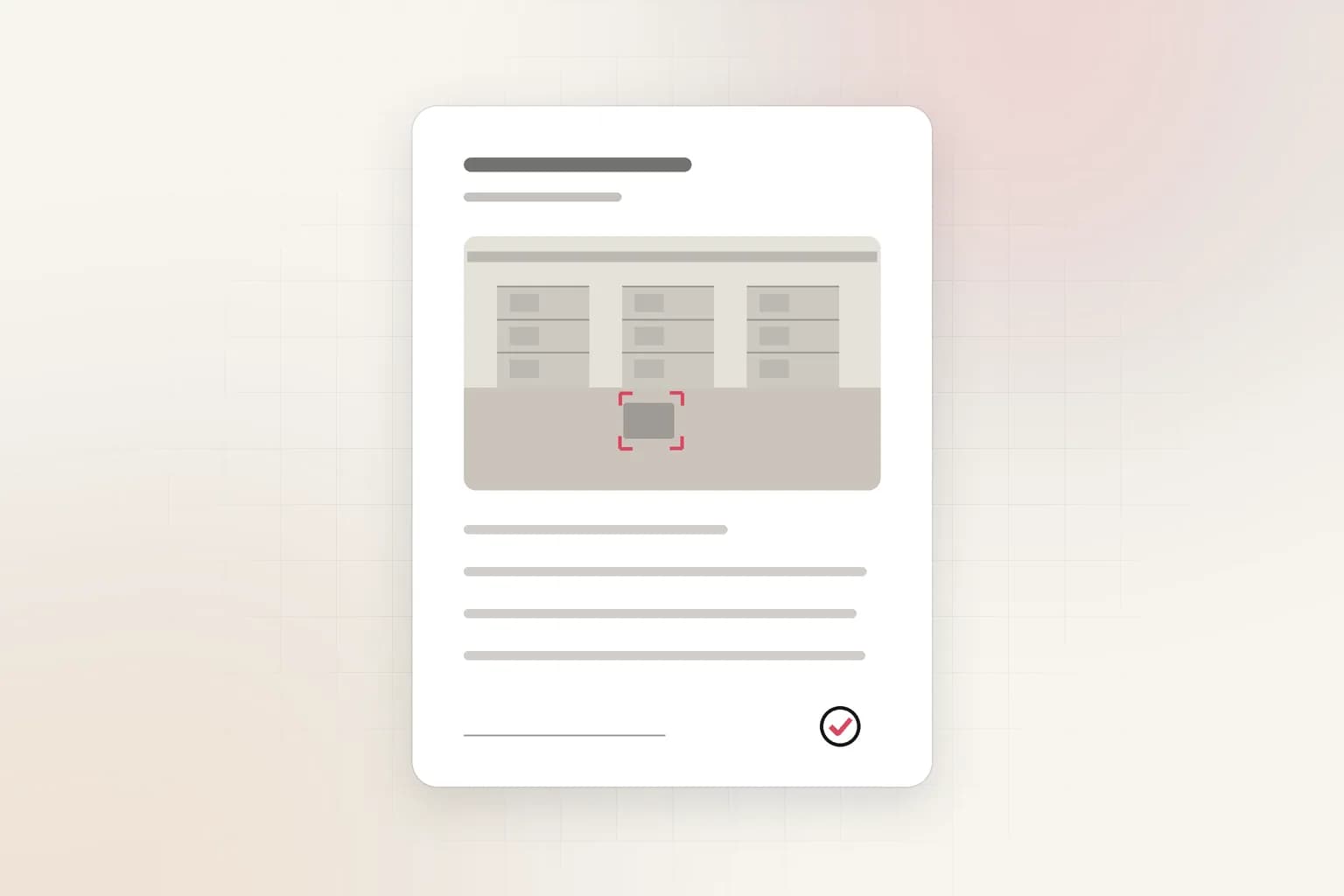
A geotagged photo records where and when a picture was taken. Ceptory's free Geotag Camera shows your GPS coordinates under the live preview, prints them with the street address on the photo and writes them into its EXIF, with your title, photographer and copyright. Photos are never uploaded.
A geotagged photo answers two questions a plain photo cannot: where was this taken, and when. You can take one without installing anything, using the free Geotag Camera.
What is a geotagged photo?
A geotagged photo carries its location with it. Phones usually store the position as hidden metadata called EXIF, a block of tags inside the JPEG that photo viewers, maps and tools such as ExifTool can read. The GPS tags sit in their own section of the EXIF data and hold latitude, longitude, altitude, a UTC time and a date.
Hidden metadata has one weakness. Screenshots, messaging apps and many social networks strip it, so the location is gone by the time the picture reaches the person who needs it. That is why the Geotag Camera does both jobs. It writes the position into the EXIF tags and also prints the coordinates, accuracy and time along the bottom edge of the photo, where anyone who sees the image can read them.
Ceptory is a video intelligence platform, so why a photo tool? Teams that review footage also collect still evidence on site: a damaged door, a blocked exit, the view from a newly mounted camera. A photo that says where and when it was taken is easier to file, find and trust than one that arrives with the message "by the loading dock".
How does a browser find your location?
Your browser asks the device. Websites use the Geolocation API, which, according to the MDN documentation, works only on secure https pages and always asks the user for permission first. The browser then uses the best functionality the device offers, such as GPS on a phone.
What you get back is a position plus an accuracy figure. MDN defines accuracy as the radius, in metres, around the reported latitude and longitude within which the true position falls with 95% confidence. A reading of 8 m means you are very likely within eight metres of the point shown. A reading of 400 m means the browser only knows the neighbourhood.
That is why the tool shows the accuracy right next to the coordinates, and why you should read it before you rely on the position:
- Phones outdoors combine satellite GPS with Wi-Fi and mobile network data and usually give a tight fix after a few seconds.
- Phones indoors lose the satellite signal inside buildings and fall back to network data, so the figure grows.
- Laptops and desktops normally have no GPS chip and depend on Wi-Fi and network signals, so expect a wide area rather than a point.
If the accuracy is poor, move outdoors, wait a few seconds for the reading to settle, and turn on precise location in your device settings.
How do you take a geotagged photo in the browser?
Open the Geotag Camera on your phone for the best result, and follow these steps:
- Press Start camera and location. Camera access also needs a secure page and your permission, as the getUserMedia documentation explains. Allow both prompts.
- Watch the readout under the preview. Your street address, coordinates, accuracy and the time of the last fix appear directly under the camera view, so you can see them while you frame the shot. The address comes from OpenStreetMap and can take a few seconds to appear.
- Fill in the photo details if you want them. Title, photographer, copyright and a note are saved into the EXIF of every photo. All of them are optional.
- Choose the camera and take the photo. Switch between the back and front camera, then press Take photo.
- Download the JPG. Open a photo in the list below the camera to save it. Your photos stay on your device.
Three switches control what travels with the file. Look up the street address turns the address lookup on or off. Write EXIF metadata adds the GPS position, capture time and your details to the JPG. Print coordinates and time on the photo burns the address, coordinates and time into the picture. Use both for a record that survives any channel, or turn one off when you want a clean image or a photo that carries no hidden location.
What metadata does the photo carry?
The downloaded JPG holds the standard fields that photo software already understands:
| Field | What it holds |
|---|---|
| GPS latitude and longitude | Your position in decimal degrees, stored as degrees, minutes and seconds |
| GPS altitude | Height above or below sea level, when the device reports it |
| GPS time and date | The UTC time of the position fix |
| GPS area information and description | The street address, when the lookup is on |
| Date taken | Local capture time |
| Image description | Your title and note |
| Artist and copyright | The photographer and copyright text you entered |
| Comment | The position accuracy and the software that wrote the file |
Open the file in a desktop photo app, a maps or gallery app, or ExifTool and the location and details show up like those of any camera photo. The tool does not claim a camera make or model, because a browser cannot read that reliably.
Text fields in EXIF are plain ASCII in most software, so the tool converts accents to their plain letters and replaces characters it cannot store. Write names with plain letters if the exact spelling matters.
Where does a geotagged photo help?
A stamped, tagged photo earns its place wherever a location and time change what a picture means.
- Incident reports. A photo of damage, a spill or a blocked exit that shows where and when it was taken is easier to act on than a description. Pair it with the incident report template, which structures the facts around the photo.
- Camera installs and site records. Photograph a camera's mounting position and its view after installation, so a later reviewer can place the camera on a map and see what it covers.
- Field inspections. Inspectors who photograph assets across several sites can tie each picture to a position and time without keeping a separate log. Teams that already use checklists in workplace safety monitoring can attach a tagged photo to each finding.
- Delivery and service proof. A photo at the door with the time and place on it settles most "was it delivered?" questions.
Why does the location not show up, or look wrong?
Most problems come from permissions, signal or timing, and each has a quick fix.
- No coordinates appear. The browser has not been given location permission, or the page is not secure. Check the padlock in the address bar, open the site settings and set location to Allow. Then press Start again.
- The position is a long way off. The first reading on a laptop or an indoor phone often comes from Wi-Fi data and can be hundreds of metres out. Wait for the accuracy figure to drop, or step outside, before you take the photo.
- The position jumps between readings. That is normal while the device is still locking onto satellites. The readout updates continuously, so take the photo once the numbers settle.
- The camera does not open. Another app may be using it, or the browser may have blocked it for this site. Close the other app and allow the camera in the site settings.
- The photo shows no location in your gallery app. Some gallery apps and messaging services remove EXIF when you share a file. Open the downloaded file itself, or rely on the printed stamp when the photo travels through a channel that strips metadata.
If you take many photos in one visit, give each a title in the details section. A title such as "Dock 3, door damage" turns a folder of anonymous images into a record you can scan later.
Privacy: who gets to see where a photo was taken?
A location is personal data when it points to a home, a workplace or a person's movements. Treat tagged photos the way you treat any record that identifies a place.
Both switches exist for this reason. Leave EXIF on for internal records. Turn it off, and consider turning off the printed stamp too, before you post a photo publicly or send it to someone who does not need the position. If a photo shows a home or a private site, crop or avoid stamping it.
Your photos and the camera feed are never uploaded. They are handled in the page, so there is no server copy to secure or delete, and the only copies are the files you download. The one thing that leaves the page is your coordinates, sent to OpenStreetMap to get the street address. Turn off Look up the street address and nothing is sent.
What the stamp does not prove
Metadata and printed stamps record what the device reported, and they can be edited. Anyone with an image editor can change a stamp, and anyone with a metadata tool can rewrite EXIF. A geotagged photo is good supporting documentation, not a tamper-proof record.
When a decision depends on the evidence, keep the original files untouched, note who captured and who handled them, and keep the surrounding footage. This is where video helps. A single photo documents one moment; a camera records the minutes before and after it.
From a single photo to hours of footage
A geotagged photo documents the place and the moment you chose to capture. Cameras on a site record everything else, and nobody has time to scrub through it. Ceptory indexes recorded video so you can type what you are looking for, such as "red van at the north gate", and jump to the matching clips, as described in Search and find moments in video and in the video intelligence platform guide.
Use the Geotag Camera for the quick on-site record, then start free when the evidence sits in hours of video. Estimating how much footage that is? The CCTV storage calculator shows what a set of cameras produces per day.
Frequently asked questions
Is my photo or location uploaded anywhere?
Photos and the camera feed stay in your browser until you download them. The tool sends only your coordinates to OpenStreetMap to look up the street address, and you can switch that off to send nothing.
Why is the accuracy figure so large on my laptop?
Laptops usually have no GPS chip, so the browser estimates position from nearby Wi-Fi networks and other signals, which can be off by hundreds of metres. A phone outdoors is far more precise. Check the accuracy shown next to the coordinates.
Does the downloaded photo contain EXIF location data?
Yes, by default. The JPG carries GPS latitude, longitude, altitude and UTC time, the capture time, and the details you enter. Turn off the EXIF switch before you take the photo if you want a file with no hidden location data.
Can a stamped photo be used as evidence?
It documents where and when a photo was taken, which helps an incident report, but metadata and stamps can be edited like any image data. Keep the original footage and a record of who handled it when the outcome matters.
Why does the browser say the camera or location is blocked?
Browsers only offer the camera and location on secure https pages and only after you allow them. Open the site settings, set both to Allow, and press Start again.
Ceptory
Search your own footage in plain language. The free tier indexes 60 minutes of video.