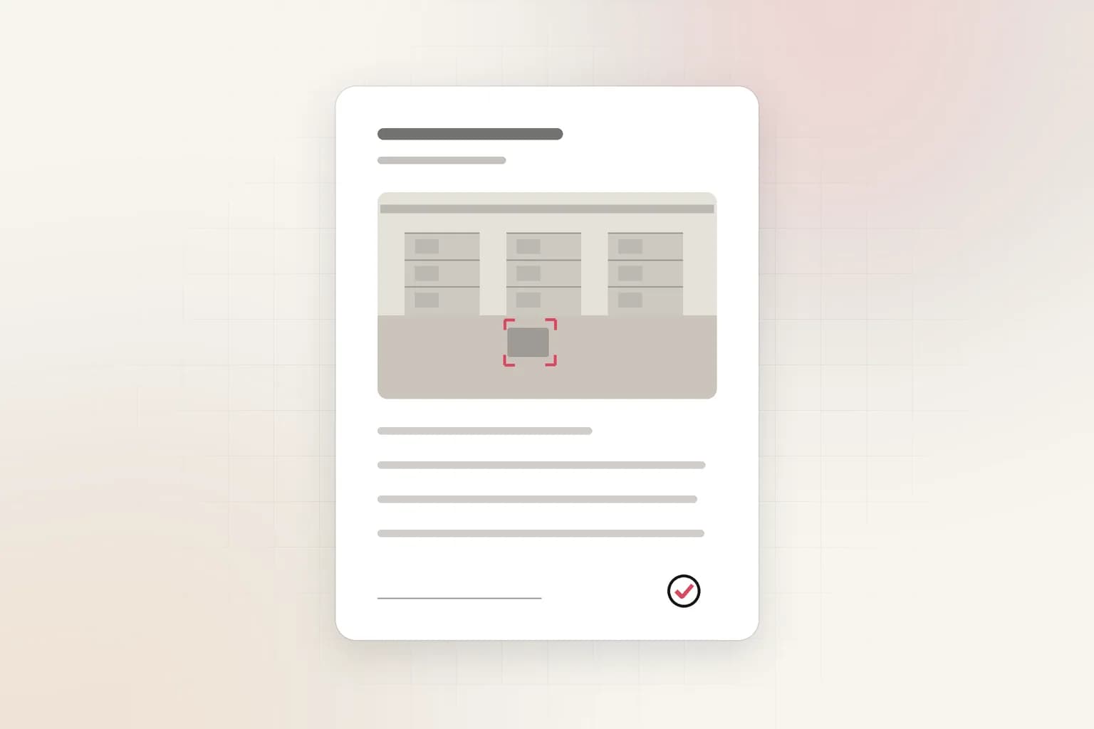
Camera with GPS location

Geotag Camera
See your street address and GPS position live, then take a photo that carries them. Allow the camera and location when asked.
Start your camera and your coordinates show right under the preview. Take a photo and your street address, coordinates and time are printed on the image and written into its EXIF metadata, together with the title, photographer and copyright you enter. The photo never leaves your device.
Free sample geotag photos
These illustrated samples show what the tool produces. Each JPG carries real EXIF: open it in a photo app or ExifTool to see the GPS position, address, date and details. They are free to download for reference.
 JPG
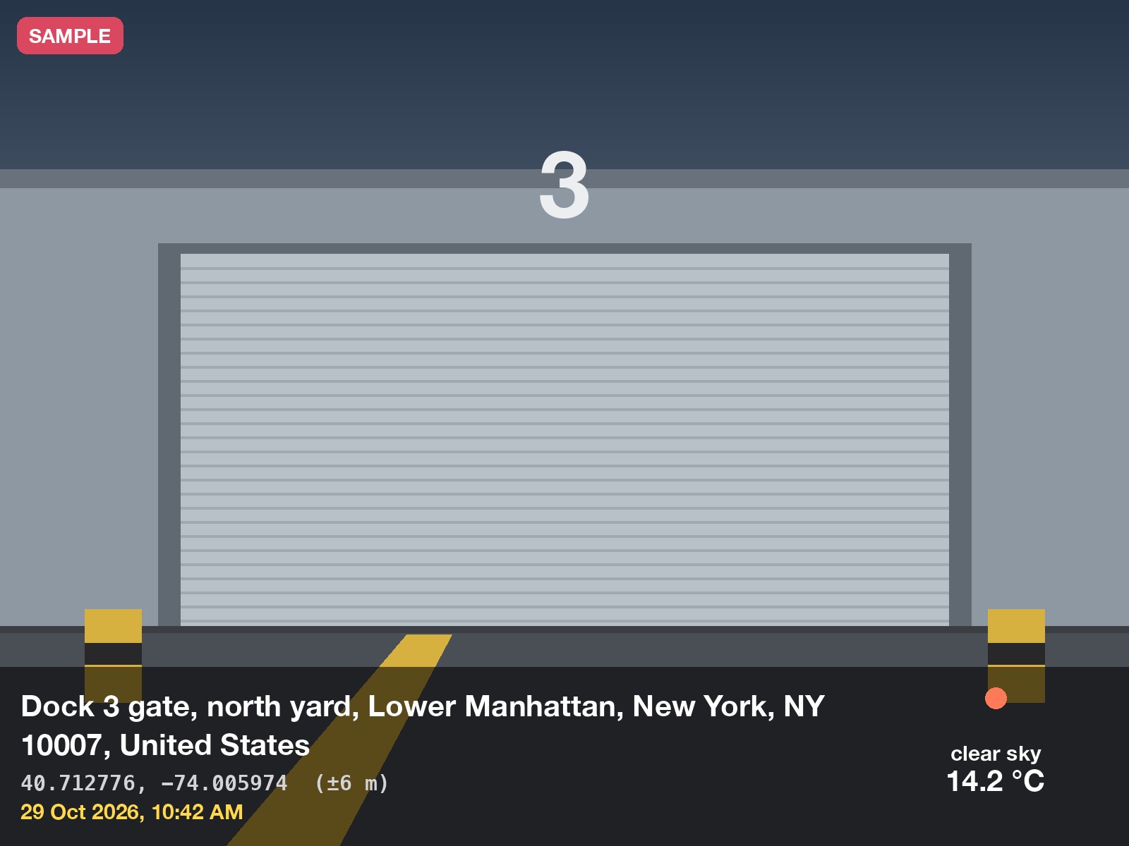
Dock inspection
Title, address, coordinates and time on a site photo
 JPG
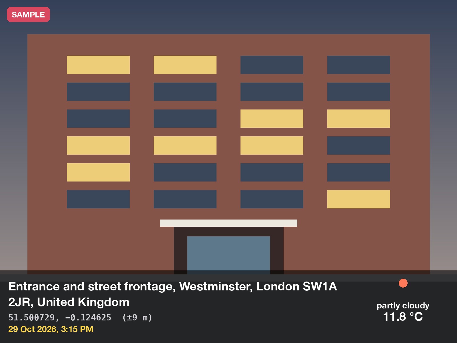
Building frontage
Entrance photo for a property or install record
 JPG
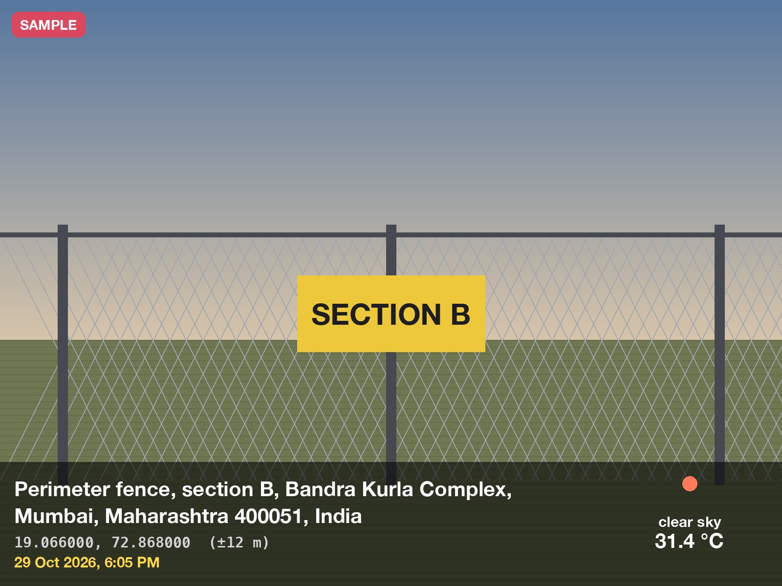
Perimeter check
Fence section logged for a security patrol
How to take a geotagged photo
- Step 1
Open the camera
Press Start and allow camera and location. Your address and coordinates appear on the camera.
- Step 2
Wait for a good fix
The rating beside the accuracy reads Excellent, Good, Fair or Poor. Take the photo on Good or better.
- Step 3
Take the photo
It opens full screen with the address, coordinates and time printed on it.
- Step 4
Download or share
Save the JPG, or use Share on a phone to put it in your gallery. The EXIF carries the same details.
What people use a GPS photo stamp for
Site and construction progress
Dated, located photos of each stage, filed without a separate log.
Property and insurance claims
Show the address and time on damage photos so a claim is easy to verify.
Asset and utility inspections
Tie every photo of a pole, valve or machine to where it stands.
Security patrols and incidents
Record the spot and time of a blocked exit, broken lock or gate left open.
Delivery and service proof
A photo at the door with the place and time on it settles most disputes.
Field surveys and audits
Name each shot with a title so a folder of photos reads like a report.
Use it like an app
Geotag Camera works as an installable web app. On Android, choose Install as an app in the tool's settings. On iPhone, tap Share, then Add to Home Screen. It then opens full screen from your home screen, remembers your title, photographer and switches, and keeps the screen awake while the camera is open.
Privacy and accuracy
Everything is processed on your device. Photos and the camera feed never leave your browser, there is no account or database, and recent photos are kept only in your browser's own storage until you delete them. The only thing sent out is your coordinates, to OpenStreetMap, to look up the street address, and you can switch that off. Accuracy depends on the device: a phone outdoors is usually within a few metres to about 15 m, while a laptop using Wi-Fi is often ±40 m or more. The tool shows the real accuracy and marks the address approximate when it is weak. A stamp or EXIF tag can be edited, so keep originals when a decision depends on the photo.
How the geotag camera works
Your browser opens the camera and asks the device for its position through the standard Geolocation API, then looks up the street address for that position from OpenStreetMap. Phones use GPS, Wi-Fi and cell data; laptops usually rely on Wi-Fi, so expect a wider accuracy range.
When you take a photo, the tool draws the frame onto a canvas and prints the coordinates, accuracy and timestamp along the bottom edge. The stamp is part of the picture, so it stays visible when the file is shared, printed or attached to an incident report.
The downloaded JPG also carries standard EXIF metadata: GPS latitude, longitude, altitude and UTC time, the capture time, and the title, photographer, copyright and note you enter. Photo viewers, maps and tools such as ExifTool read it. Two switches let you drop the EXIF or the printed stamp when you do not want the location to travel with the file.
Frequently asked questions
Is my photo or location uploaded anywhere?
Your photos and the camera feed never leave your browser. To show a street address, the tool sends only your coordinates to OpenStreetMap's Nominatim service and reads back the address. Turn off Look up the street address to send nothing.
Where does the street address come from?
From OpenStreetMap's Nominatim reverse-geocoding service, using your coordinates. It returns the nearest mapped address, which can be a neighbouring street or just a suburb in places with sparse map data. The address is printed on the photo and saved in its EXIF description and GPS area field.
Why is the location accuracy poor?
Accuracy depends on the device. Phones outdoors are usually within 5 to 20 metres. Indoors, or on a laptop without GPS, the position comes from Wi-Fi and can be off by hundreds of metres. Move outdoors and allow precise location for the best fix.
Why does it say location or camera is blocked?
Browsers only offer camera and location on secure (https) pages, and only after you allow them. Open the site settings in your browser, set both to Allow, and press Start again.
Does the photo include EXIF GPS data?
Yes, by default. The JPG carries GPS latitude, longitude, altitude and time, the capture time, and the title, photographer, copyright and note you enter. Turn off Write EXIF metadata to download a photo without hidden location data.
Can I use the stamped photos as evidence?
They record where and when the photo was taken, which helps an incident report, but a stamp can be edited like any image. For evidence that must stand up, keep the original footage and a log of who handled it.
Get started
From calculators to answers
Index your footage once, then search, summarize, and get alerts across every camera.