
Aerial infrastructure inspection
Inspect bridges, towers, pipelines, and critical infrastructure using AI-powered drone video analysis.
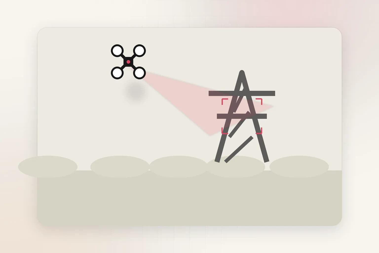
Ceptory helps infrastructure teams analyze aerial inspection footage, detect structural defects, track maintenance needs, and generate compliance-ready reports from UAV surveillance without manual inspection video review.
Inspection coverage
Full asset lifecycle
Track infrastructure condition across initial inspection, routine maintenance, and emergency assessments using drone video intelligence.
Defect detection
AI-powered analysis
Automatically identify cracks, corrosion, structural damage, vegetation encroachment, and maintenance needs from aerial footage.
Compliance output
Audit-ready reports
Generate structured inspection records, visual evidence packages, and regulatory compliance documentation from UAV video.
The problem
Traditional infrastructure inspection requires inspectors to manually review hours of drone footage, transcribe defect observations, and manually correlate findings across inspection cycles. This creates delays in identifying critical issues and makes historical comparison nearly impossible.
The outcome
Ceptory transforms drone inspection footage into automated defect detection, searchable maintenance history, and structured compliance reports so infrastructure teams can identify issues faster, prioritize repairs accurately, and maintain continuous asset health visibility.
Signals
What Ceptory indexes
Infrastructure inspection teams generate massive amounts of drone footage capturing bridges, power lines, pipelines, wind turbines, and critical assets. Ceptory converts this aerial surveillance into searchable defect intelligence, maintenance triggers, and compliance documentation that inspection teams can act on immediately.
- Structural defect detection: cracks, corrosion, spalling, deformation, and material degradation in bridges, towers, and pipelines
- Vegetation management: encroachment detection for power lines, pipelines, and transportation corridors from aerial surveillance
- Equipment condition monitoring: rust, wear patterns, bolt loosening, and component failure indicators in wind turbines and industrial structures
- Historical comparison: automated change detection across inspection cycles to identify progressive deterioration
Workflow
One review path from ingest to action
- 1
Collect aerial inspection footage
Ingest drone video from bridge inspections, power line surveys, pipeline monitoring, wind turbine assessments, and critical infrastructure surveillance programs.
- 2
Index infrastructure inspection signals
Map structural elements, defect patterns, maintenance indicators, and temporal changes into a searchable drone video intelligence layer with asset-level context.
- 3
Detect defects and maintenance triggers
Automatically identify cracks, corrosion, vegetation encroachment, equipment wear, and other inspection findings without manual frame-by-frame review of aerial footage.
- 4
Generate compliance and maintenance outputs
Export inspection reports, defect summaries, maintenance work orders, and regulatory compliance packages into asset management systems and inspection databases.
Outputs
What your team gets back
Defect detection report
Automated identification of structural defects, corrosion, and maintenance needs with location coordinates and visual evidence from drone footage.
Maintenance priority queue
Risk-scored work orders based on defect severity, asset criticality, and historical deterioration patterns from aerial inspection intelligence.
Regulatory compliance package
Audit-ready inspection documentation with visual evidence, defect catalogs, and compliance attestations from UAV surveillance data.
Governance
Deployment and review
Deployment
- Run drone video analysis in secure cloud, private cloud, or on-premise environments aligned with critical infrastructure security requirements.
- Segment aerial inspection data by asset type, geographic region, regulatory jurisdiction, or maintenance authority.
- Integrate defect intelligence and maintenance outputs with CMMS platforms, GIS systems, and regulatory reporting tools.
Review loop
- Inspection engineers validate automated defect detection before issuing maintenance work orders or safety alerts.
- Asset managers review prioritized maintenance queues before allocating repair resources and scheduling interventions.
- Regulatory compliance officers approve final inspection packages before submission to oversight authorities.
Related
Explore adjacent workflows

Infrastructure
Drone footage monitoring for construction
Ceptory helps construction and infrastructure teams analyze drone footage, track progress across sites, detect safety violations, and generate structured reports from aerial surveillance without manual video review.
Learn more
Security
Loading dock incident review
Security teams can search vehicle arrivals, personnel movement, access violations, and sequence-of-event changes without replaying every camera angle manually.
Learn moreAerial infrastructure inspection execution model
This use case is documented for teams deploying enterprise video intelligence in real operations with clear accountability, review controls, and measurable outcomes.
Use the workflow details to align platform teams and business owners on implementation scope, integration, and KPI tracking.
- Operational event definitions and review boundaries.
- Integration path into enterprise systems and reporting workflows.
- Outcome metrics for rollout quality and sustained performance.
Get started
See aerial infrastructure inspection on your footage
Bring a sample and we'll index it live, then walk through search, review, and outputs.